Despite nearly losing one hiking boot to its flow just minutes before, crossing the thigh-high fast currents of the Pare Chu River at Norbu Sumdo felt strangely exciting.
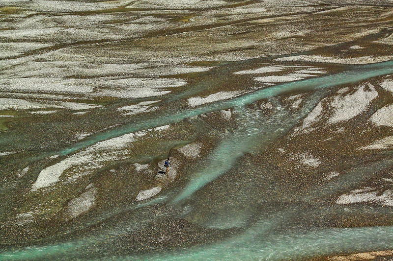
After all, there’s only so much walking on river bed that one can take. Walking through dry valleys for days after crossing the Parang La pass, even something as dangerous as a fast flowing river seemed like a welcome obstacle.
Parang La Pass
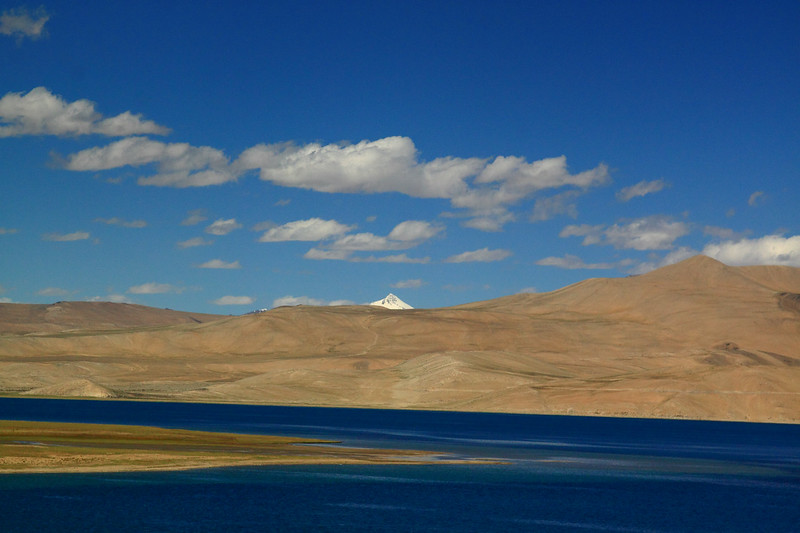
Parang La is a strange trek, long and monotonous often times, but it redeems itself with consistent days at high altitudes of above 4000 m and mind-blowing views of Tso-Moriri lake towards the end.
Ancient trek routes connecting remote lands always held a great fascination for me. Ever since I heard of one such historic route that connected Spiti to Tso-Moriri lake, Ladakh across Parang La, I’ve wanted to get on that trail.
The nomadic people of Changthang region used this route in the earlier days extensively to attend the La Darcha trade fair in Spiti where the Changspa (or Changpa) nomads came mainly to barter wool and barley in exchange for salt.
Even today, many locals use this foot trail as the fastest and cheapest way to get across between Spiti and Ladakh. I was more than excited to experience a slice of the local way of life in the mountains. Just like the Chadar has become the highway for the people of Zanskar to reach Leh during winters, this route connects the people of Spiti and Ladakh during summers.
Starting from Kibber
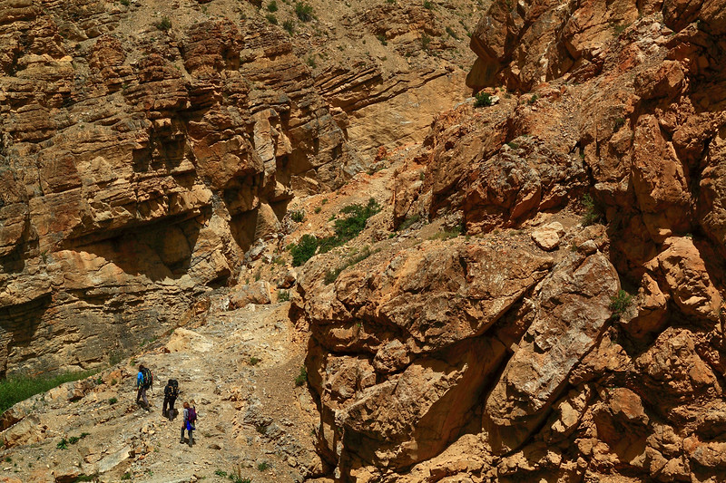
Arriving at Kibber(4200 m) with two other hikers, our guide and his support team of five, I stood in front of the ominous notice board warning hikers that the trek can get very dangerous after September 15th. Unprepared as I was and breathless already after barely a minute’s walk on flat ground (that’s high altitude and low oxygen at work!), I nervously made calculations in my mind if we’d be crossing on time. Thankfully, we were almost 3 weeks early before the open season ended.
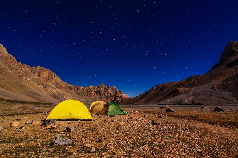
Settling into my sweet little yellow Black Diamond tent at a clearing called Dumla, a small village beyond Kibber and our first campsite, I was immensely thankful for two things. One—that there were no other hikers around, as is the case with most of the popular treks in the Himalayas these days.
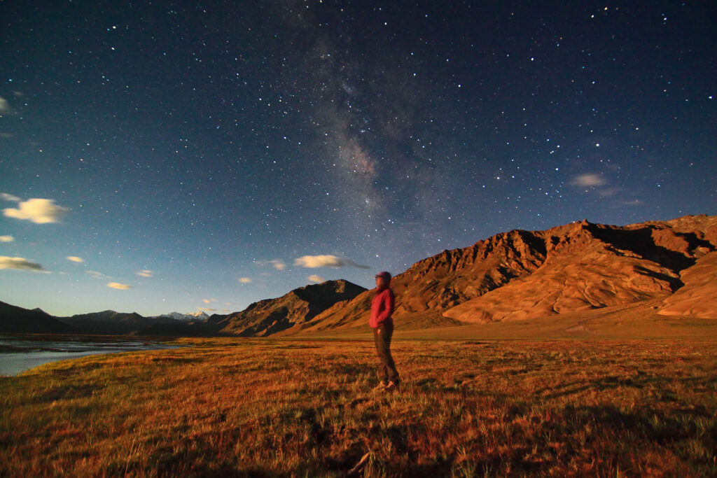
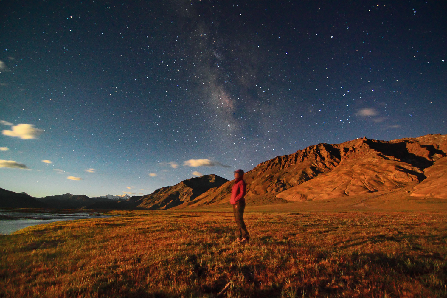
And two—that it was the waxing moon period, meaning bright moonlit nights were going to keep me company as we camped in secluded locations over the next 10 days. Considering I am not fond of absolute darkness and that I will be bunked alone in the tent, I was more than happy with the big bright silver moon that lit up the skies every night.
Except for the slight scare from the braying donkeys and barking shepherd dogs at night, I was pretty pleased with this new development of camping alone in a tent. (Of course my group was camped next to me, but still!)
Over the next two days, we walked along gradual trails where we came across several fossils belonging to the Tethys Sea and enjoyed clear views of stunning Mt.Kanamo peak towering above the landscape.
Crossing the pass
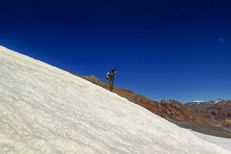
When the time came to cross the 5500 m high pass, we got down to a deep gorge and climbed along a punishing moraine to reach the base camp where furious winds ripped apart our tents for an hour before subsiding.
Crossing the pass turned out to be a decent affair, the insane cold before sunrise and the oxygen deprived high-altitude being the only deterrents, but nothing too unmanageable for an experienced hiker.
The descent and beyond
The descent towards the other side, however, brought a large swathe of snowfield and plenty of glacial streams. Hiking on top of brittle ice formations over water channels criss-crossing beneath our feet turned out to be quite tiring and often times harrowing, but the lure of a distant campsite along the riverbed kept us moving.
Related: Backpacking in Spiti valley
What we didn’t realize was that much like a mirage in the desert, our campsite would never arrive despite seeming like it’s just around the corner. Looking for greenery, so the donkeys could graze, we couldn’t stop just anywhere by the river.
We walked and walked on the dry riverbed until we found a small patch of green, almost after 9 hours since we started hiking that day. Tired, we collapsed into our tents, thinking the worst was behind us.
Normally, the toughest days on any trek are the summit or pass-crossing days, but not on this one. We would be tested mentally over the next 7 days but for now, we revelled in the glory of safely crossing the 18300ft high Parang La pass, a mighty wall between the two legendary regions.
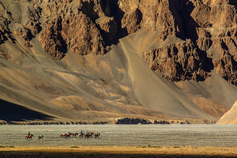
Over the next few days, we walked endlessly along the riverside in the valley between the mountains. The days were monotonous and mentally taxing, for there was little change in scenery apart from more brown mountains and pebble-filled riverbed.
Reaching Tso-Moriri lake
The only thing that we were looking forward to, was reaching the shores of beautiful Tso-Moriri lake, one of the world’s highest lakes at an altitude of almost, 15000ft! When we reached the shore, I couldn’t resist the temptation to camp an extra day by its verdant shores, observing the wildlife and soaking in the greenery around.
The best part of this trek was definitely hiking in the incredibly scenic Changthang region of Ladakh, one of the very few regions in Ladakh with greenery and abundant wildlife. The Bar Headed Geese that fly higher than Mount Everest roosted right next to our campsite and Kiangs, the endemic Tibetan Wild Asses of the high Himalayas, strayed close examining the outsiders in their territory.
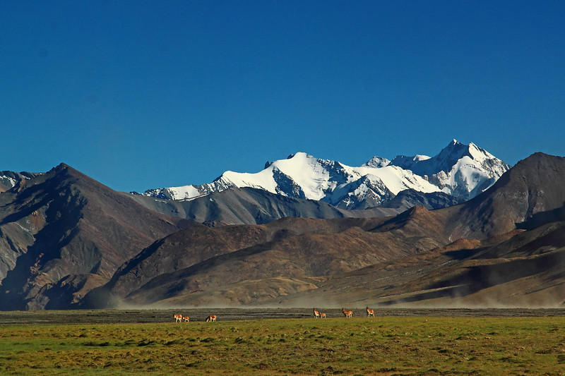
I also enjoyed stalking the curious and very cute Marmots, which are not used to human presence at all in this region. I woke up to gorgeous sunrise views at the farthest end of Tso-Moriri and warmed myself around a bonfire at moonrise watching the many glacial streams light up even as the milky way showed bright in the night sky.
On the last day, I hiked almost 20kms along the shores of Tso-Moriri to reach the village of Korzok on the other end. With this, I had explored the entire length of the two most gorgeous lakes of Ladakh; I had driven 40kms all across the length of Pangong Tso in India and walked across the length of Tso-Moriri from one end to the other!
Now having walked, flown and driven to Ladakh on different trips, the only other means of transportation left to reach the roof of the world was cycling. Perhaps, it will be the next adventure that’ll see me arrive in Ladakh for the 7th time!

But for that time, I was more than happy to treat my eyes to some greenery after almost 2 weeks of barren landscapes of Spiti and Ladakh. Between the lush greens, however, flashes of those empty landscapes shining bright on moonlit nights will surface every so often and I’ll go running back to the very same strange place that feels like home!
- Tso Moriri – Hiking Shores of Ladakh’s Azure Lake – March 7, 2023
- Parang La Pass (Trekking From Kibber To Tso-moriri) – February 16, 2022

Leave a Reply