“How will you know the way, the weather is bad, there is a lot of snow,” the senior officer said. “I’ve hiked all over the Himalayas, I hiked the Pin-Paravati pass in a snowstorm,” I retorted. “Ok, I’ll give you permission if you write a statement that you take responsibility for your safety.” And that’s how I got the permission to hike the Kinnaur Kailash Parikarma on my own.
Kinnaur-Kailash Parikrama Trek
Although the Kinner Kailash circuit route is a traditional pilgrimage route around the sacred mountain of Kinnaur Kailash, technically foreigners are either supposed to have a group of four or be guided.
I got off to a bit of a slow start; jumping on a bus to Lambar where I would start the trek with a bus driver who loved taking his time, stopping the bus, and shaking hands with everyone he knew.
Then he decided he really didn’t want to finish the route, so he turned around about 4 km before Thangi and 10 km before Lambar village under the pretext that there was a landslide blocking the road ahead.
There was no landslide, so much for my theory that bus drivers in India are the only government employees who do their jobs the way they are supposed to be done.
Maybe this guy had previously been a postal worker, for whatever reason he dumped me and the other passengers alongside the road. I walked for about 15 minutes before managing to get a ride in a jeep to Lambar with some of the other locals from the bus.
After a lunch of rice and dhal in Lambar, I headed off a bit later than I would have liked.
But not before a local advised me that not to go over the Charang La, “too much snow” he said. “So I keep hearing,” I replied as I walk off towards the Charang La.
My map showed Charang village (my attempted destination for the day) on the north side of the river so when a bridge went to the south side of the river I stayed on the north bank about a half-hour later; I passed the Indo-Tibetan Border Police checkpoint which was on the opposite side of the river.
The men at the check post told me I had to cross the knee-deep, ice-cold river to sign in. I said they could bring the book to me, but I didn’t want to walk through the icy river.
I showed my permission across the river. After a semi audible discussion across the rushing river, one of the officers crossed to my side, a man from Meru who spoke the best English of the lot. It turned out I was on the wrong side of the river, heading to a village I wasn’t supposed to go to.
I reluctantly crossed the river to the side of the camp. By the time I finished tea with the officers and signed in, it was about a half-hour away from darkness.
I decided I didn’t have enough time to make it to Charang. They invited me to stay at camp for the night, accommodation that included a nice hot meal and several glasses of whiskey and water.

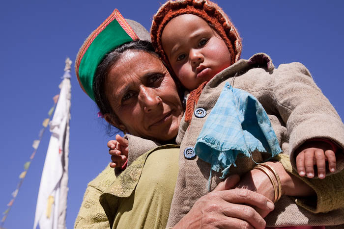
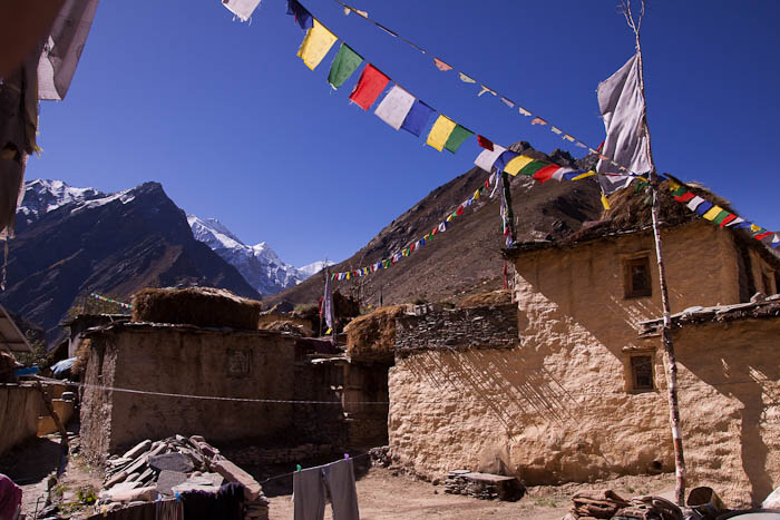
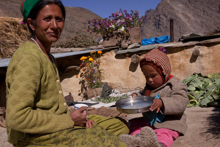
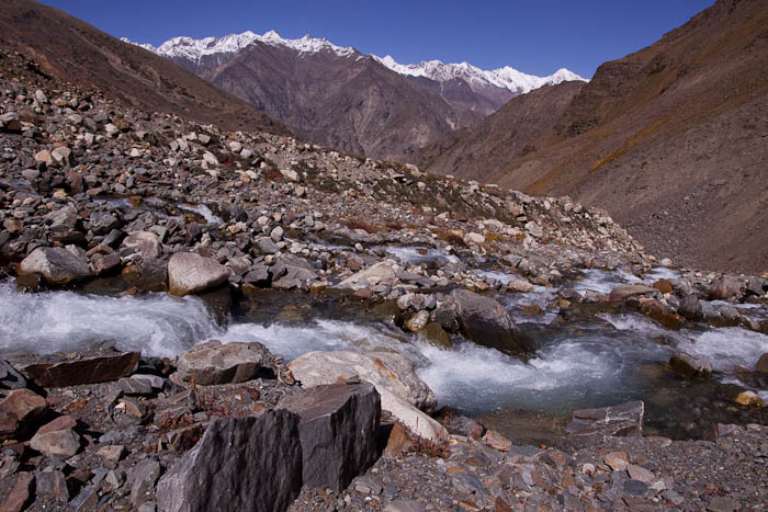
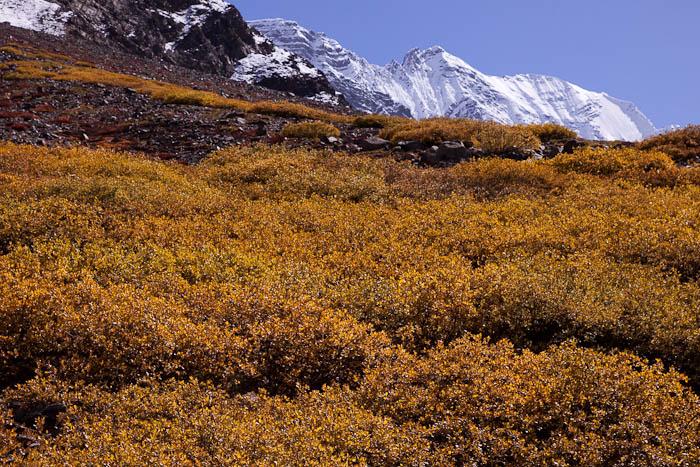
The following day I visited the friendly and picturesque village of Charang. After an hour of looking around and some tea with the locals, I headed over the ridge above town up the steep-sided valley towards the Charang La. The valley widened as I approached the snow line. It was mid-afternoon and I decided to camp just before the snow line knowing the snowfields would be difficult to cross in the heat of the afternoon. I found a small patch of grass and a nearby spring suitable for the purpose and pitched my tent.
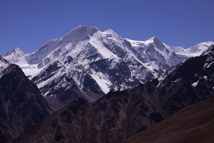


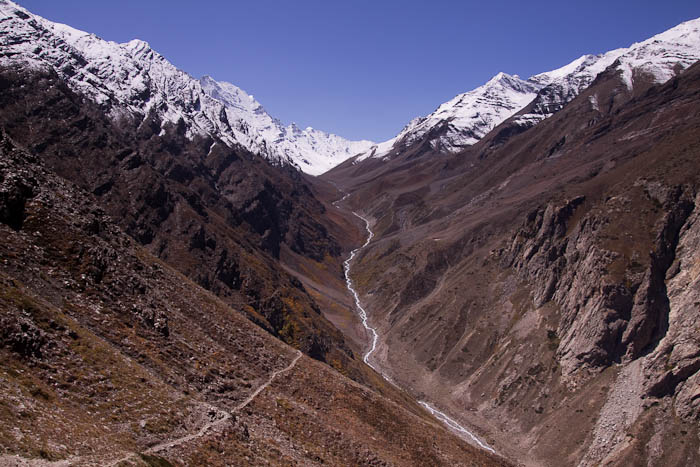
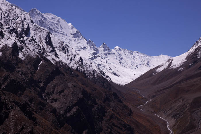


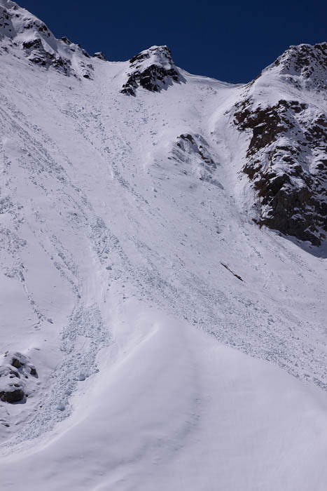
Early the next morning, I headed out across the snow towards the pass. I got my first view of the “pass” known as the Charang La. I had heard the pass was difficult, but this wasn’t a pass, it was a cliff. A steep snow-covered slope leads up to a notch between the mountains.
I reached the base of the pass before noon. Any path that had existed was completely obscured by the snow. I decided it would be best to attempt to pass the following morning, but hiking up the steep snow-covered slope with my full pack would be extremely difficult. I set up camp on the snow beneath the pass.
I figured if I carved out a path in the afternoon, it would firm up overnight, making the climb much easier the following morning. It took me two hours to climb the pass, making footholds along the way.

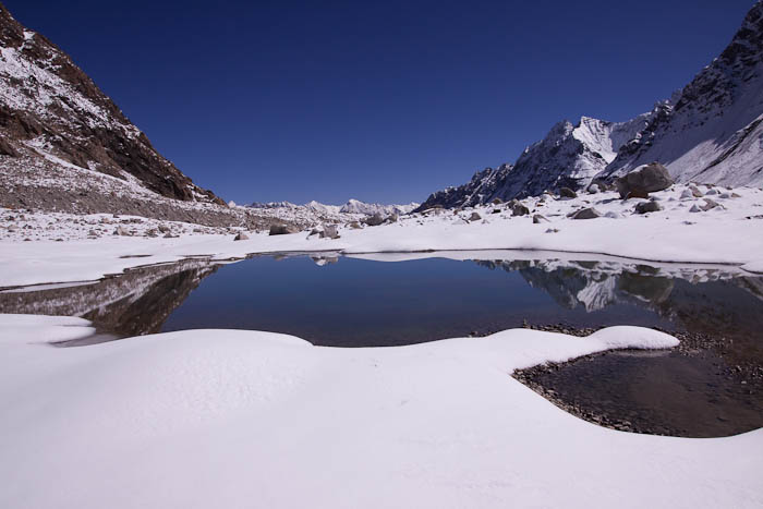







While the view was great, my campsite was less than ideal, it was a cold night sleeping on snow at around 5,000 m. Furthermore, there was no water at my campsite, but lots of snow which take a surprisingly long time to melt even in the bright sun. What water I had managed to melt was frozen by the morning.
A bigger problem was that it had entered in my shoes. They were frozen solid, and I couldn’t get my feet into them. I had to delay my start until they had thawed out enough from the morning sun so that I could at least put them on.
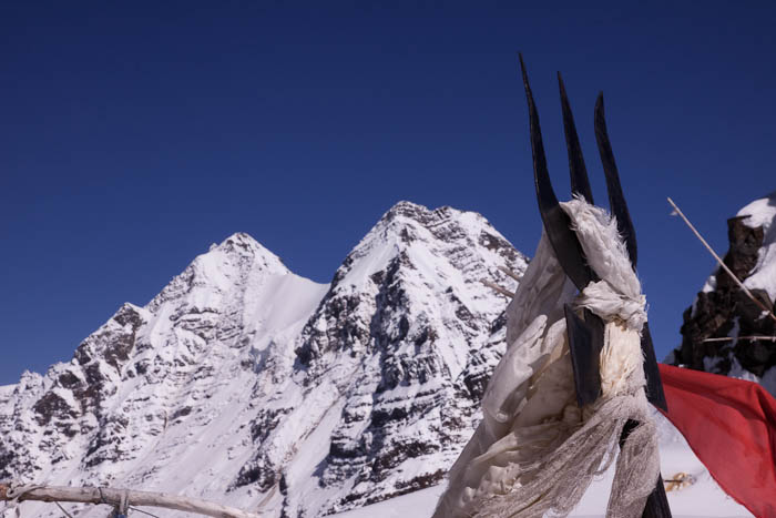
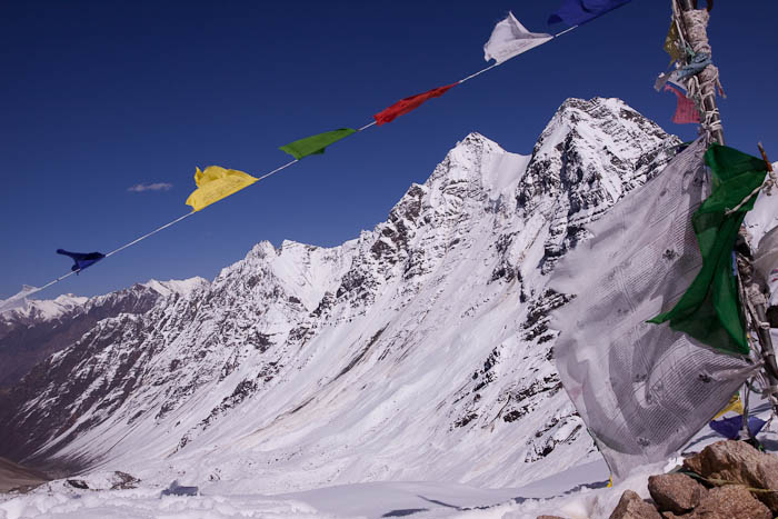
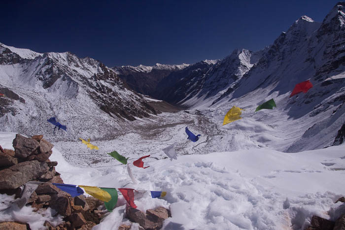
The footholds that I had made the previous day made the hike over the pass much easier. I reached the top in about an hour, loaded down with all of my gear. I couldn’t have asked for clearer weather to enjoy the view atop the 5,266 m (17,275 ft) Charang La over the snow-covered landscape. I spent a good hour enjoying the fruits of my effort before descending the steep slope down to the pleasant village of Chitkul four hours away.
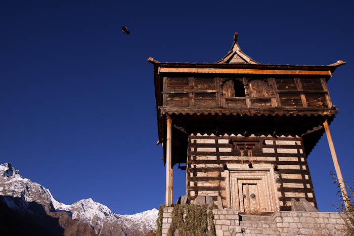
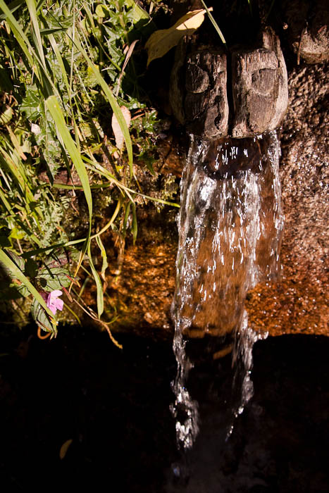


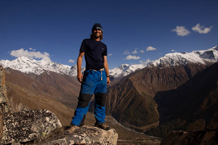

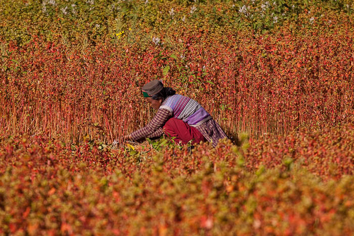

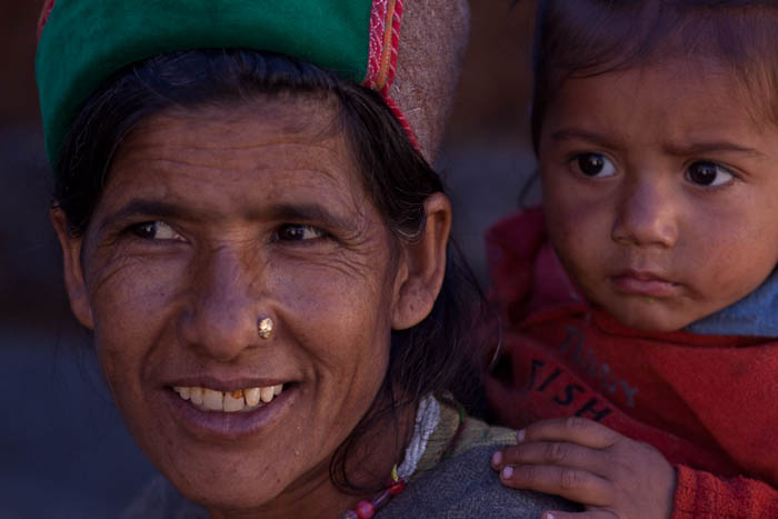

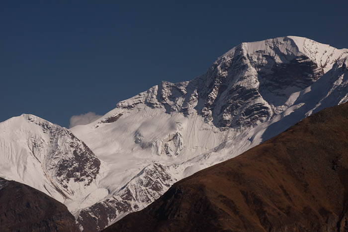


The village of Chitkul is an idyllic place at the end of the road that winds its way up the Baspa Valley. I would have stayed longer than the two days I spent there had I not left most of my things back in Kalpa. In the interest of reducing weight for the trek, I had only one set of clothes with me, a set of clothes that I was anxious to change out of after 4 days of trekking. But as it was, I had time to explore the village a bit and hike up above the village before catching a bus back to Kalpa.
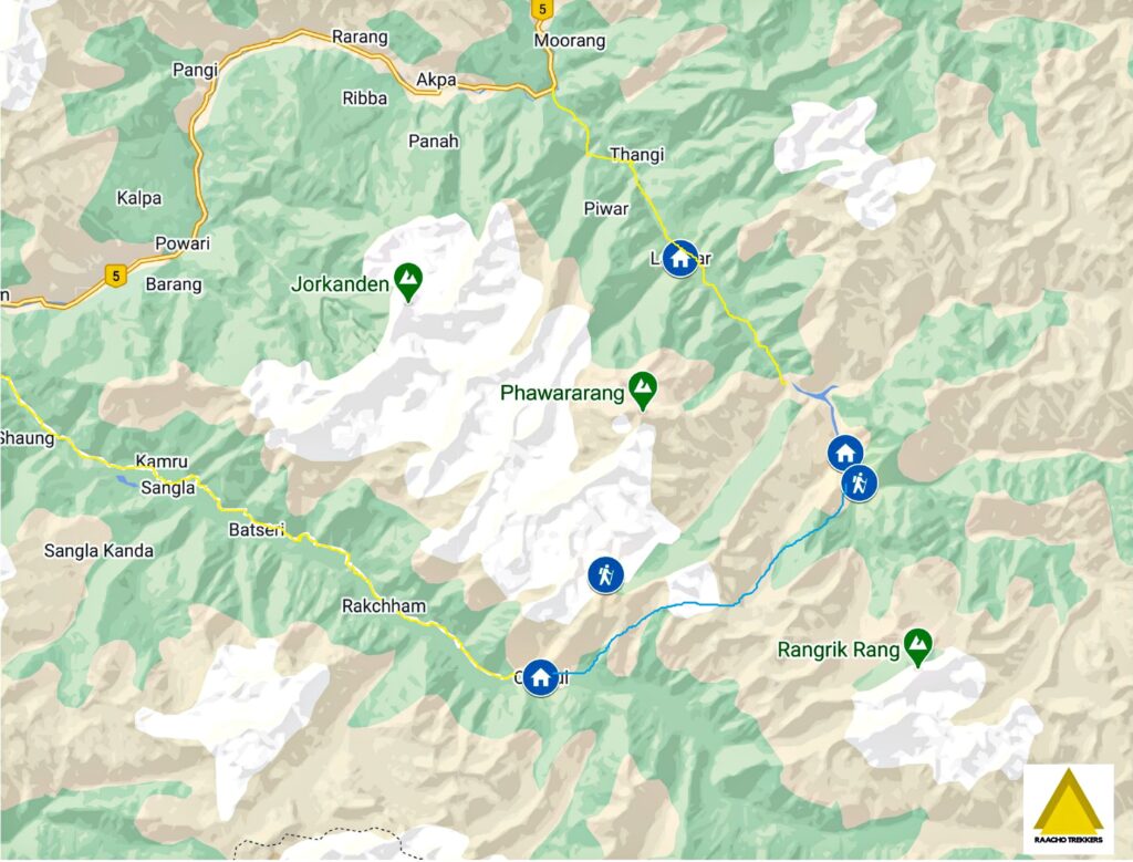
Kinner Kailash(Kinnaur) Circuit Trek Map
View on Google Maps
- Kinner Kailash Parikrama (Winter Climb Log) – January 29, 2018

Leave a Reply