Parang La trek is a challenging (but immensely rewarding) trek that encapsulates the bare beauty of the Spiti valley and the western Changthang plateau of Ladakh in the Zanskar and trans-Himalayas ranges.
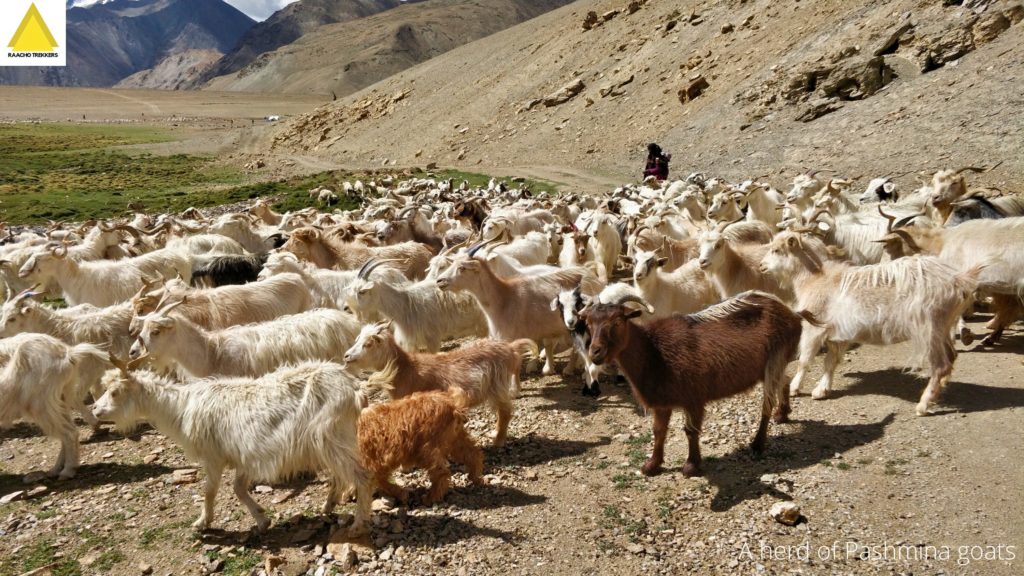
The trek route begins in Kibber village (near Kaza) in Spiti valley and continues through varied terrains such as gorges, mountain plateaux. Parang-La trail ends in Korzok village by the shore of the immensely gorgeous Tso-Moriri lake — the home of bar-headed geese, Tibetan sheep and wild ass.
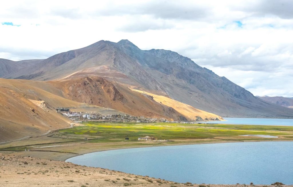
Korzok or Karzok — The Beautiful Himalayan village is located on the banks of Tso Moriri Lake. Korzok village is situated in the Leh District of Jammu & Kashmir, India.
Parang La Pass ⛰
We recommend a prior high altitude Himalayan trek experience for Parang La pass.
The trek route (from Kibber to Parang La) is neither very strenuous nor very steep or demanding.
The trail gets taxing from Parang La pass though, as you have to traverse at an altitude of above 4200 m to 5538 m on consecutive days.
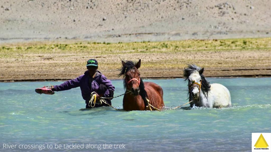
Also, there are plenty of stream crossings (between the pass and Korzok stretch) and a long and tricky river crossing — that becomes trickier if the water levels are high.
Korzok is located almost 200 km away from Leh Town. You have to book your own transport to reach this village (bus travel is severely limited). It is among one of the highest villages in the world. According to history, the village was on the Central Asian Trade route — the Silk Route — until 1947.
⚡ Parang-La Trek 2025 Rundown
| Region | Spiti valley and Changthang plateau of Zanskar and Trans-Himalayas |
| Duration | 8 days and 7 nights |
| Difficulty level | Moderate to challenging |
| Apex Altitude | 5538 m (Parang-La) |
| Best Time To Trek | May to September month |
| Trail Length | ~ 120 km |
| Departure Dates | 1 September, 2025 |
| Group Size | 10 |
| Starts from | Kibber |
| Ends At | Korzok village |
| Activity | Camping, walking, hiking, climbing, glacier crossing, crevasse and scree slope crossing |
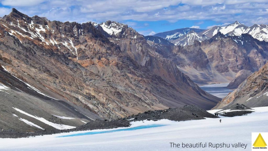
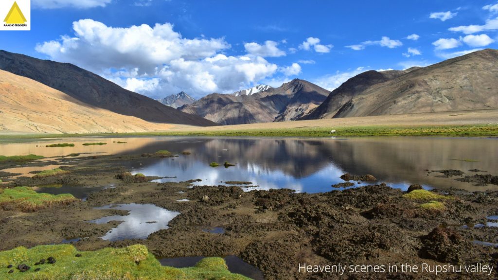
Korzok is the headquarters of Rupshu Valley, and many Beautiful Trans Himalayan Treks start or end here; Parang-La is one of them too.
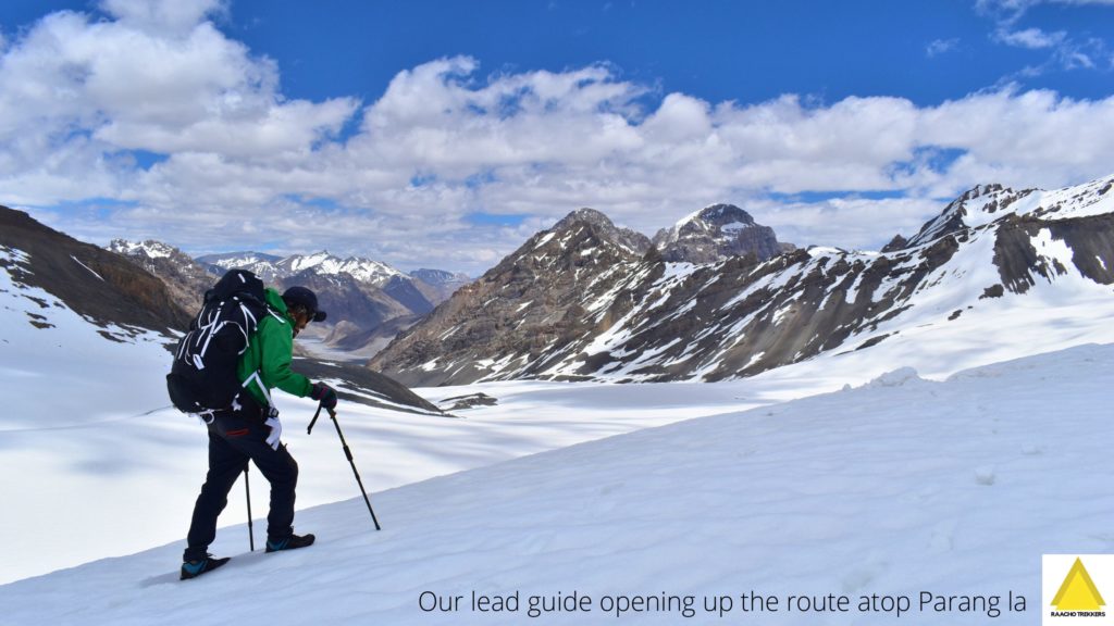
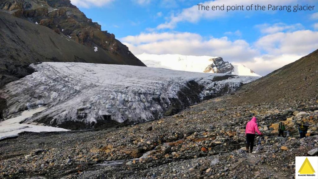
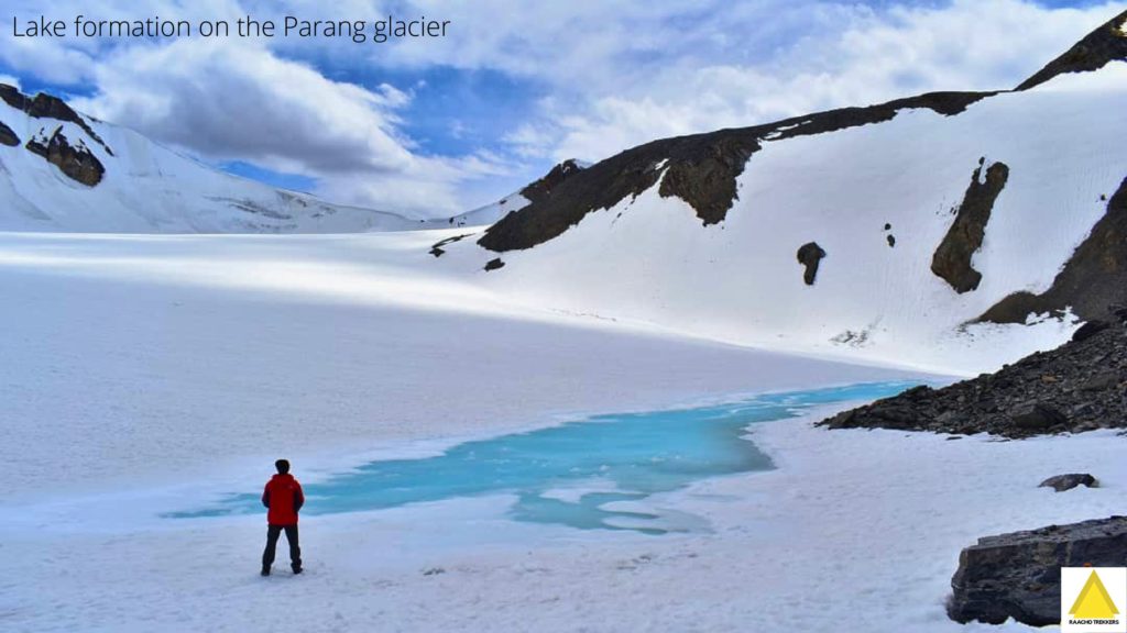
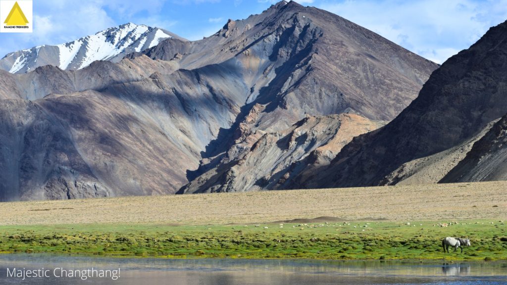
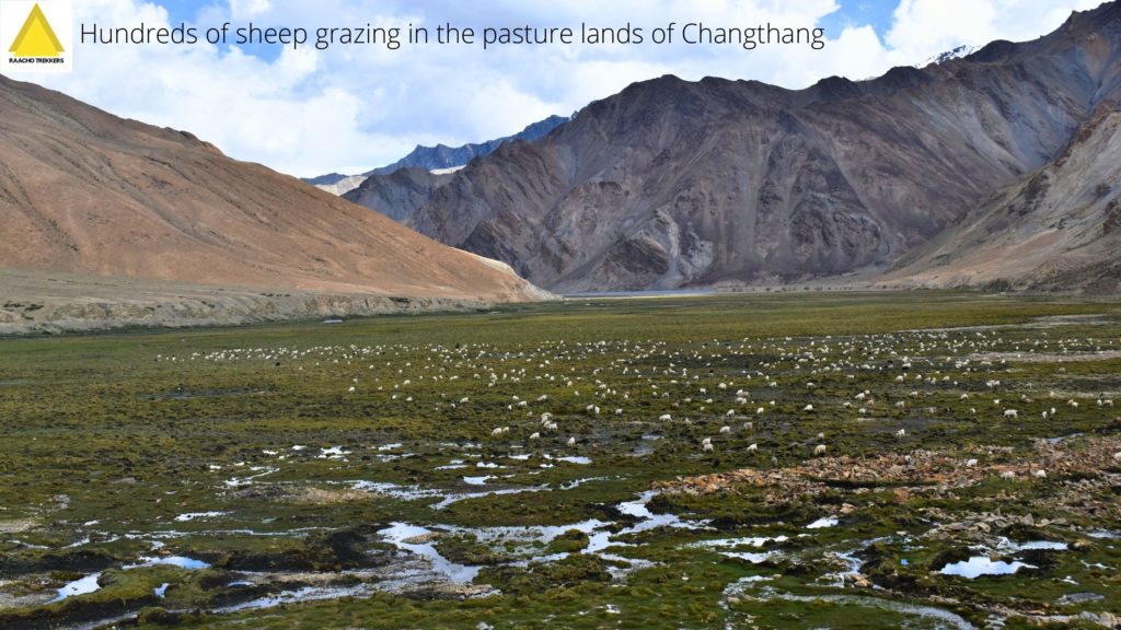
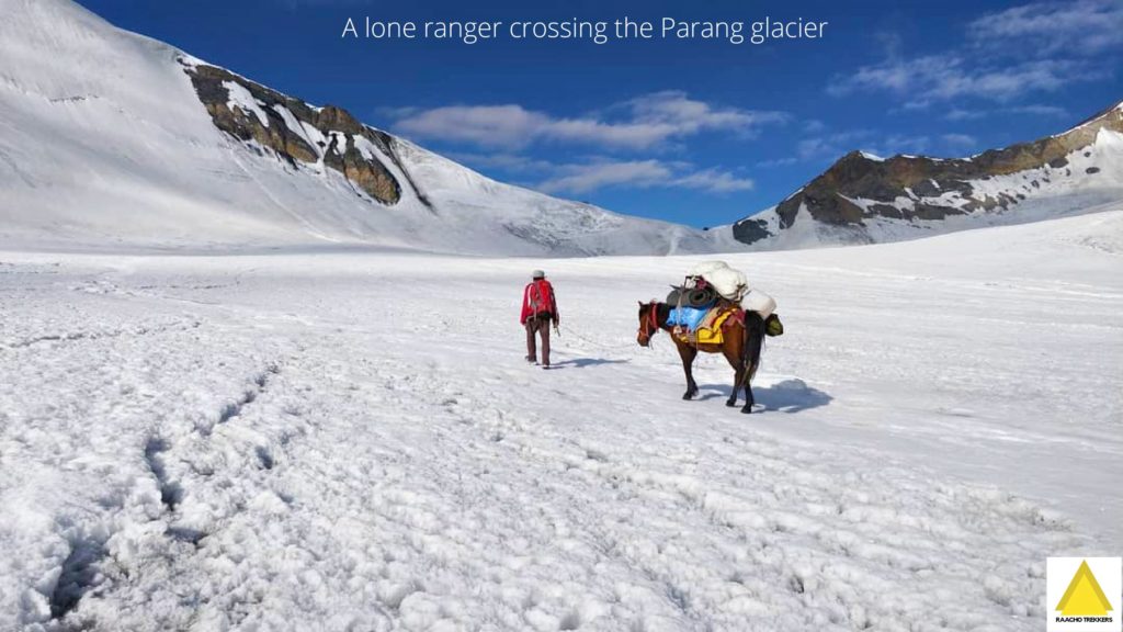
The diverse terrain includes long glacier walks of Parang glacier (source of Pare Chu river), river crossing, negotiating crevasses, lake, and beautiful mountain meadows. The trail follows the broad valley of the Pare Chu till its confluence with the Phirtse Phu at Norbu Sumdo.
Parang La Trek Events in 2025
Our Parang La pass trek departures are scheduled for second week of August and first week of September 2025. We are looking for a minimum group size of 6 people.
We also can run tailored trips for smaller group sizes (i.e., less than 6 people) willing to sustain an additional price. The trek dates are subjected to the notifications and the pandemic guidelines by the government.
Best Time To Go For Parang-La Pass Trek
The best time is from June to September. Early June is good for experiencing long snow cover and snowscapes. In August and September month there is a beautiful contrast of green mountain meadows against the desert brown landscape and snow-capped mountain peaks.
₹ What Does Parang-La Trek Cost In 2025?
It starts from 30,000₹. The final cost shall be based on the number of factors like the group size, pick-up place, trek dates, and add-ons availed (like backpack offloading, stay before or after the trek and transit service after completing the trek).
Drop an email to avail group or early bird offers for 2025 departures.
Our fixed departures for 2025 have been scheduled. We can arrange a customized trek if the dates are not matching your schedule.
Story Behind The Name Tso-moriri
According to a local folklore, in the days of yore, the Tso-mo-riri lake had a different name. The name Tsomoriri is formed from three words. Tso (pronounced as sō) is a Ladakhi / Bhoti (Spitian) language word which means an extensive lake. Mo is a Ladakhi word for a girl. The history behind the third part is interesting.
Once, a Changpa tribesman asked his daughter to take care of their livestock herd as he was going to attend a winter festival in a neighboring village. Somehow, the herd of goats, yaks and horses escaped from the livestock enclosure and the girl got petrified. As she started searching for the herd, she saw distant reflection of yaks standing over the frozen lake. As she got closer to the lake, she found all her yaks, horses and goats were walking over the lake.
She started shouting ri-ri to call them. Changpas speak ri-ri loudly to control and direct their herds. The herd didn’t hear the call and continued walking toward the other direction. To come near her livestock, she stepped on the lake timidly. As she came near the herd, the ice below her ruptured and she drowned in the lake with the herd. After this tragic event, the locals named the lake Tsomoriri.
⚐ Parang-La Pass Trek Itinerary
Day 1: Kibber to Dumla Trek
Trek hours: Around 3-4 hours (Acclimatization Day).
Altitude of Dumla Camp-site: 4125 meters.
Distance: 7 Km.
Day 2: Dumla to Thalthak Trek
Trek hours: Around 4 hours (Acclimatization Day).
Altitude of Thalthak Camp-site: 4583 meters.
Distance: 5.5 Km.
Day 3: Thalthak to Bongrojen Camp Trek
Trek hours: Around 6 hours:
Altitude of Bongrojen Camp-site: 5020 meters.
Distance: 18.4 Km.
Day 4: Bongrojen-Parang-La Pass-Dak Karzong Trek
Trek hours: Around 7 hours.
Acme: Parang-La Pass altitude 5538 meters.
Distance: 20.1 Km.
Altitude of Dak Karzong Camp-site: 4862 meters.
Day 5: Dak Karzong to Datang Yongma Trek
Trek hours: Around 6 hours.
Altitude of Datang Yongma Camp-site: 4704 meters
Distance: 21.2 Km.
Day 6: Datang Yogma to Changthang Trek
Trek hours: Around 6 hours. We’ll camp either at Norbu Sumdo or Changthang or Chumur.
Altitude of Changthang Camp-site: 4595 Mtr
Distance: 24.2 Km.
Note: The trek continues till you reach Norbu Sumdo. Sumdo means junction in the local dialect. It is a junction of 3 trails – first leading from Spiti, second leading from Chumur, third leading from Ladakh.
Day 7: Changthang to Kiangdom Trek
Trek hours: Around 4 hours.
Altitude of Kiangdom Camp-site: 4529 meters. This Camp-site is situated by the banks of Tso Moriri Lake.
Trek Distance: 10.4 Km.
Day 8: Kiangdom to Karzok Trek
Trek hours: Around 6 hours.
Altitude of Karzok Camp-site: 4579 Mtr
Distance: 22.7 Km.
Parang – La Pass trek route map
Parang – La trek route map by Leomann Himalaya maps

Who Can Cross Parang-La Pass?
You must have done at least one high altitude trek before. Those who do not have requisite trek experience of high altitude passes should not apply.
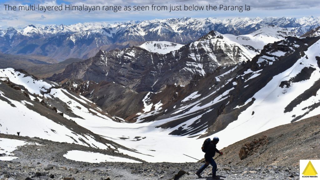
You must be physically fit to do the 8-day Himalayan trek. The Parang-La pass trek route leads you up to over 18,400 feet high pass of Parang-La pass and through a long expanse of Parang-La glacier.
In the high-altitude cold desert valleys of Spiti and Changthang, the air is thin and the rigours of the mountain can grind you down. You must give yourself sufficient time to prepare yourself for the trek.
NOTE: Trekkers are required to bring a medical certificate deeming them fit for high-altitude trekking at the start of the trek.
Backpack carrying: A porter will carry your backpack, please do not bring extra items but only the essentials needed for high altitude trek. Besides detailed planning, taking care of all the logistics, food, and good equipment, packing a backpack efficiently and carrying essential things play a key role in the success of an expedition.
Bare Essentials for Parang-La Pass Trek
- A pair of good quality waterproof trekking boots.
- Three pairs of socks.
- Two pairs of waterproof hiking pants.
- One pair of shorts
- Two pairs of fleece jumpers.
- Two pairs of thermal tops and bottoms
- One down jacket.
- Headgear (1 beanie/skull cap, 1 buff, and 1 trekking cap).
- A pair of thick gloves
- Personal hygiene essentials (alcohol-based gel hand sanitizer, soap, towels, toilet papers, baby wipes, etc.)
- UV-block sunglasses.
- First aid kit.
- A water purifier and filtration bottle.
Gallery


Leave a Reply